
Datei:Map of Florida highlighting Sarasota County.svg

Größe der PNG-Vorschau dieser SVG-Datei: 601 × 599 Pixel. Weitere Auflésungan: 241 × 240 Pixel | 481 × 480 Pixel | 770 × 768 Pixel | 1.027 × 1.024 Pixel | 2.054 × 2.048 Pixel | 7.342 × 7.321 Pixel.
Version in hechara Auflesung (SVG-Datei, Basisgress: 7.342 × 7.321 Pixl, Dateigress: 310 KB)
Bschreiwung
| Bschreiwung |
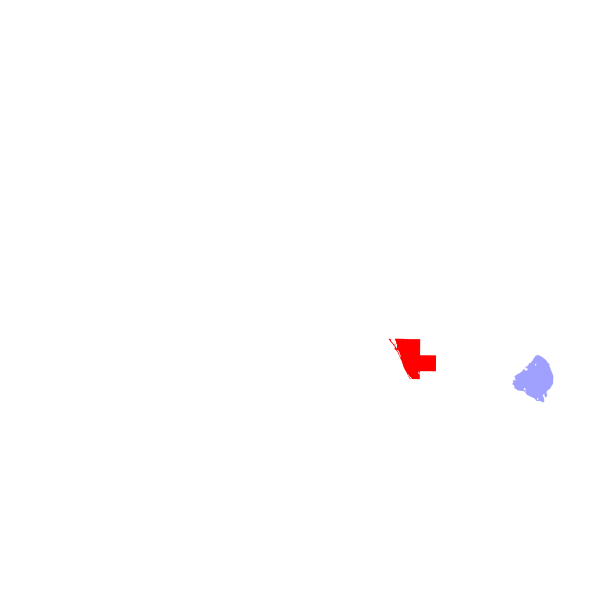
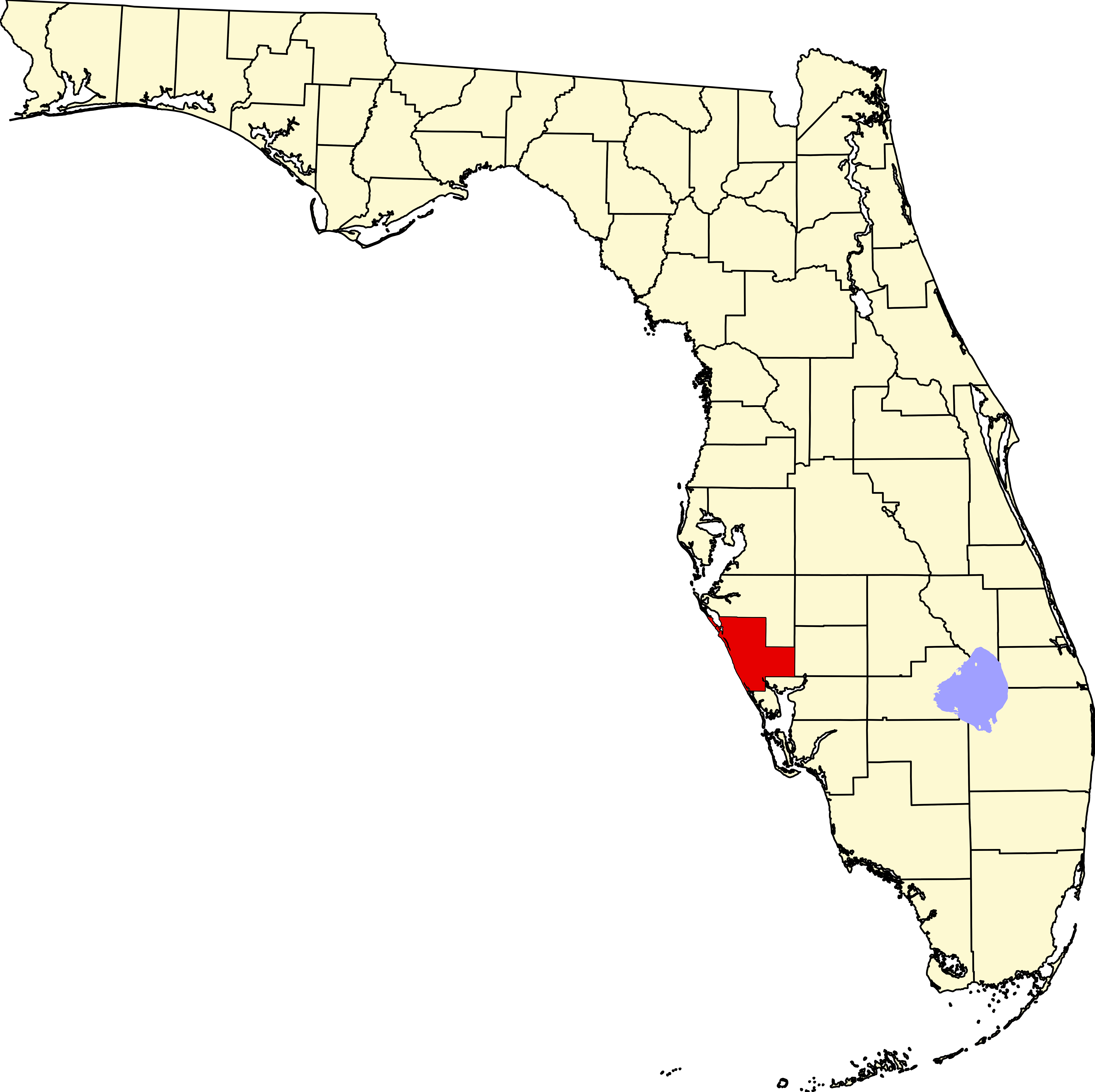
English: This is a locator map showing Sarasota County in Florida. For more information, see Commons:United States county locator maps. |
| Daatum | |
| Quejn |
Eigenes Werk: English: The maps use data from nationalatlas.gov, specifically countyp020.tar.gz on the Raw Data Download page. The maps also use state outline data from statesp020.tar.gz. The Florida maps use hydrogm020.tar.gz to display Lake Okeechobee. |
| Urhéwer | David Benbennick |
Lizenz
| Ich, der Urheberrechtsinhaber dieses Werkes, veröffentliche es als gemeinfrei. Dies gilt weltweit. In manchen Staaten könnte dies rechtlich nicht möglich sein. Sofern dies der Fall ist: Ich gewähre jedem das bedingungslose Recht, dieses Werk für jedweden Zweck zu nutzen, es sei denn, Bedingungen sind gesetzlich erforderlich. |
Dateiversiona
Wensd auf an Zeitpunkt klickst, nacha konst a friaane Version lodn.
| Version vom | Vorschaubuidl | Dimensióna | Nutzer | Kommentar | |
|---|---|---|---|---|---|
| aktuell | 07:44, 14. Few. 2006 | | 7.342 × 7.321 (310 KB) | David Benbennick | New version with Lake Okeechobee |
| 12:53, 12. Few. 2006 |  | 7.342 × 7.321 (307 KB) | David Benbennick | {{subst:User:Dbenbenn/clm|county=Sarasota County|state=Florida}} |
Dateivawendung
Seitn wo de Datei nutzn:
Globale Dateinutzung
D'noochéfóiganden åndern Wikis vawénden dé Datei:
- Vawendung af ar.wikipedia.org
- Vawendung af arz.wikipedia.org
- Vawendung af bg.wikipedia.org
- Vawendung af bpy.wikipedia.org
- Vawendung af cdo.wikipedia.org
- Vawendung af ceb.wikipedia.org
- Vawendung af ce.wikipedia.org
- Vawendung af cy.wikipedia.org
- Vawendung af de.wikipedia.org
- Englewood (Florida)
- Bee Ridge
- Sarasota County
- Longboat Key
- Sarasota
- Venice (Florida)
- Siesta Key
- North Port (Florida)
- Osprey (Florida)
- Vorlage:Navigationsleiste Orte im Sarasota County
- Desoto Lakes
- Laurel (Florida)
- Nokomis (Florida)
- Fruitville
- Kensington Park
- Ridge Wood Heights
- South Gate Ridge
- South Venice
- Venice Gardens
- Warm Mineral Springs
- Gulf Gate
- Lake Sarasota
- The Meadows (Florida)
- North Sarasota
- Plantation (Sarasota County, Florida)
- Sarasota Springs
- Southgate (Florida)
- South Sarasota
- Vamo
- Lakewood Ranch
- Vawendung af en.wikipedia.org
Weitere globale Verwendungen dieser Datei anschauen.