
Datei:NASA photo of Brooklyn.jpg
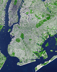
Gress dea Voaschau: 480 × 600 Pixel Weitere Auflésungan: 192 × 240 Pixel | 384 × 480 Pixel | 614 × 768 Pixel | 819 × 1.024 Pixel | 1.372 × 1.715 Pixel.
Version in hechara Auflesung (1.372 × 1.715 Pixel, Dateigress: 1,35 MB, MIME-Typ: image/jpeg)
Bschreiwung
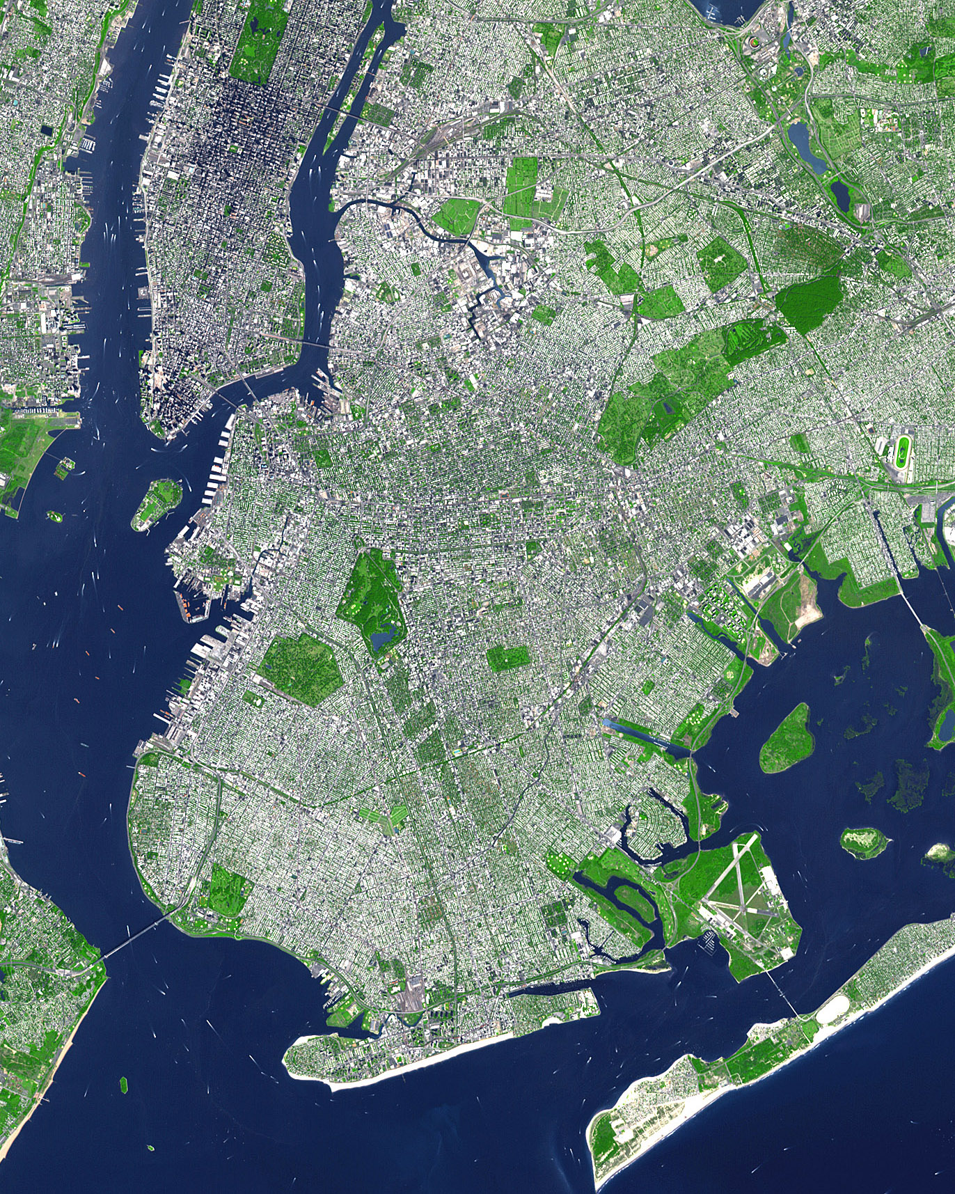
This false-color satellite image shows the New York City borough of Brooklyn. It was acquired on Sept. 8, 2002, by the Advanced Spaceborne Thermal Emission and Reflection Radiometer (ASTER) aboard NASA's Terra satellite. Vegetated land surface is green, paved urban areas are a whitish blue, and water is dark blue.
Image courtesy NASA/GSFC/MITI/ERSDAC/JAROS, and U.S./Japan ASTER Science Team
SOURCE: http://earthobservatory.nasa.gov/Newsroom/NewImages/images.php3?img_id=15368
Lizenz
| De Datai is gmoafrai (public domain), wais vo da NASA erstöid worn is. In da NASA-Urheewerrechtsrichtlinie steet, dass as „NASA-Materiaal ned durch Urheewerrecht gschytzt is, wånns ned ånders ågeem is“. (NASA-Urheewerrechtsrichtlinie-Saiten oder JPL Image Use Policy). | ||
 |
Warnung:
|
Dateiversiona
Wensd auf an Zeitpunkt klickst, nacha konst a friaane Version lodn.
| Version vom | Vorschaubuidl | Dimensióna | Nutzer | Kommentar | |
|---|---|---|---|---|---|
| aktuell | 01:09, 1. Sep. 2007 | | 1.372 × 1.715 (1,35 MB) | Voyager | == Summary == This false-color satellite image shows the New York City borough of Brooklyn. It was acquired on Sept. 8, 2002, by the Advanced Spaceborne Thermal Emission and Reflection Radiometer (ASTER) aboard NASA's Terra satellite. Vegetated land surfa |
Dateivawendung
Seitn wo de Datei nutzn:
Globale Dateinutzung
D'noochéfóiganden åndern Wikis vawénden dé Datei:
- Vawendung af hu.wikipedia.org