
Datei:Angola, administrative divisions - de - colored.svg

Größe der PNG-Vorschau dieser SVG-Datei: 547 × 600 Pixel. Weitere Auflésungan: 219 × 240 Pixel | 438 × 480 Pixel | 700 × 768 Pixel | 934 × 1.024 Pixel | 1.868 × 2.048 Pixel | 1.266 × 1.388 Pixel.
Version in hechara Auflesung (SVG-Datei, Basisgress: 1.266 × 1.388 Pixl, Dateigress: 612 KB)
Bschreiwung


.svg)


_(Paris_zoom).svg)
.svg)
,_administrative_divisions_-_de_-_colored_(multizoom).svg)
_-_colored.svg)
.svg)
,_administrative_divisions_-_Nmbrs_(multizoom).svg)
,_administrative_divisions_-_de_-_colored.svg)
_-_de_-_colored.svg)

.svg)

.svg)

Lizenz

|
Es ist erlaubt, die Datei unter den Bedingungen der GNU-Lizenz für freie Dokumentation, Version 1.2 oder einer späteren Version, veröffentlicht von der Free Software Foundation, zu kopieren, zu verbreiten und/oder zu modifizieren; es gibt keine unveränderlichen Abschnitte, keinen vorderen und keinen hinteren Umschlagtext.
Der vollständige Text der Lizenz ist im Kapitel GNU-Lizenz für freie Dokumentation verfügbar. |
Diese Datei ist unter den Creative-Commons-Lizenzen „Namensnennung – Weitergabe unter gleichen Bedingungen 3.0 nicht portiert“, „2.5 generisch“, „2.0 generisch“ und „1.0 generisch“ lizenziert.
- Dieses Werk darf von dir
- vabroatt wern – vafüfötigt, vabroatt und éffantlich zuegénglich gmocht wern.
- neu zusammengestellt werden – abgewandelt und bearbeitet werden
- Zu den folgenden Bedingungen:
- Nåmansnénnung – Du musst angemessene Urheber- und Rechteangaben machen, einen Link zur Lizenz beifügen und angeben, ob Änderungen vorgenommen wurden. Diese Angaben dürfen in jeder angemessenen Art und Weise gemacht werden, allerdings nicht so, dass der Eindruck entsteht, der Lizenzgeber unterstütze gerade dich oder deine Nutzung besonders.
- Weidergob unter gleiche Bedingungan – Wenn du das Material wiedermischst, transformierst oder darauf aufbaust, musst du deine Beiträge unter der gleichen oder einer kompatiblen Lizenz wie das Original verbreiten.

|
Wenn du die Datei außerhalb der Wikipedia oder Commons verwendest, begrüße ich es, wenn du als Quelle Wikimedia Commons angeben könntest. Wenn du die Datei in einem Buch, Zeitung, Blog, Webseite, etc. verwendest, füge bitte hier folgende Zeile ein:
|
Dateiversiona
Wensd auf an Zeitpunkt klickst, nacha konst a friaane Version lodn.
| Version vom | Vorschaubuidl | Dimensióna | Nutzer | Kommentar | |
|---|---|---|---|---|---|
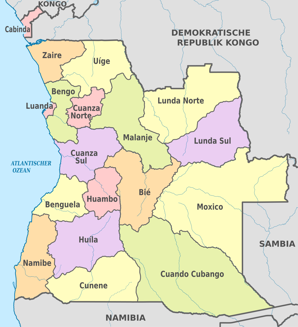
| aktuell | 10:42, 29. Ókt. 2012 | | 1.266 × 1.388 (612 KB) | TUBS | == {{int:filedesc}} == {{Information |Description={{de|Karte der politischen Gliederung von XY (siehe Dateiname)}} {{en|Map of administrative divisions of XY (see filename)}} |Source={{own}}{{Adobe Illustrator}}{{Commonist}}{{AttribSVG|Angola_-_Bengo.... |
Dateivawendung
Seitn wo de Datei nutzn:
Globale Dateinutzung
D'noochéfóiganden åndern Wikis vawénden dé Datei:
- Vawendung af af.wikipedia.org
- Vawendung af als.wikipedia.org
- Vawendung af ast.wikipedia.org
- Vawendung af ca.wikipedia.org
- Província de Cabinda
- Bengo
- Província de Benguela
- Bié
- Cuando Cubango
- Kwanza-Nord
- Kwanza-Sud
- Cunene (Angola)
- Província de Huambo
- Huíla
- Província de Luanda
- Lunda-Nord
- Lunda-Sud
- Província de Malanje
- Província de Moxico
- Província de Namibe
- Província de Uíge
- Província del Zaire
- Organització territorial d'Angola
- Províncies d'Angola
- Plantilla:Províncies d'Angola
- Vawendung af de.wikipedia.org
- Vawendung af de.wikivoyage.org
- Vawendung af es.wikipedia.org
- Vawendung af frr.wikipedia.org
- Vawendung af hu.wiktionary.org
- Vawendung af incubator.wikimedia.org
- Vawendung af it.wikipedia.org
- Vawendung af mt.wikipedia.org
- Vawendung af sco.wikipedia.org
- Vawendung af tr.wikipedia.org
- Vawendung af zh.wikipedia.org