
Datei:Cook Islands location map.svg

Größe der PNG-Vorschau dieser SVG-Datei: 571 × 599 Pixel. Weitere Auflésungan: 229 × 240 Pixel | 457 × 480 Pixel | 732 × 768 Pixel | 976 × 1.024 Pixel | 1.951 × 2.048 Pixel | 827 × 868 Pixel.
Version in hechara Auflesung (SVG-Datei, Basisgress: 827 × 868 Pixl, Dateigress: 22 KB)
Bschreiwung
| Bschreiwung |
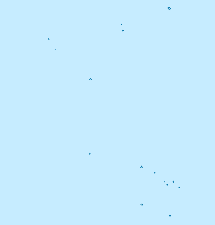
Deutsch: Positionskarte der Cookinseln
Quadratische Plattkarte, N-S-Streckung 105 %. Geographische Begrenzung der Karte:
English: Location map of the Cook Islands
Equirectangular projection, N/S stretching 105 %. Geographic limits of the map:
|
| Daatum | |
| Quejn | own work, using United States National Imagery and Mapping Agency data |
| Urhéwer | NordNordWest |

|
Diese Karte wurde in der Kartenwerkstatt erstellt oder verbessert. Auch du kannst dort Karten vorschlagen, die zu erstellen, verändern oder übersetzen sind.
|
Lizenz

|
Es ist erlaubt, die Datei unter den Bedingungen der GNU-Lizenz für freie Dokumentation, Version 1.2 oder einer späteren Version, veröffentlicht von der Free Software Foundation, zu kopieren, zu verbreiten und/oder zu modifizieren; es gibt keine unveränderlichen Abschnitte, keinen vorderen und keinen hinteren Umschlagtext.
Der vollständige Text der Lizenz ist im Kapitel GNU-Lizenz für freie Dokumentation verfügbar. |
Diese Datei ist unter der Creative-Commons-Lizenz „Namensnennung 3.0 nicht portiert“ lizenziert.
- Dieses Werk darf von dir
- vabroatt wern – vafüfötigt, vabroatt und éffantlich zuegénglich gmocht wern.
- neu zusammengestellt werden – abgewandelt und bearbeitet werden
- Zu den folgenden Bedingungen:
- Nåmansnénnung – Du musst angemessene Urheber- und Rechteangaben machen, einen Link zur Lizenz beifügen und angeben, ob Änderungen vorgenommen wurden. Diese Angaben dürfen in jeder angemessenen Art und Weise gemacht werden, allerdings nicht so, dass der Eindruck entsteht, der Lizenzgeber unterstütze gerade dich oder deine Nutzung besonders.
Dateiversiona
Wensd auf an Zeitpunkt klickst, nacha konst a friaane Version lodn.
| Version vom | Vorschaubuidl | Dimensióna | Nutzer | Kommentar | |
|---|---|---|---|---|---|
| aktuell | 21:02, 16. Nóv. 2011 | | 827 × 868 (22 KB) | NordNordWest | upd |
| 18:57, 16. Apr. 2009 |  | 827 × 868 (15 KB) | NordNordWest | corr | |
| 11:14, 16. Apr. 2009 |  | 591 × 868 (15 KB) | NordNordWest | {{Information |Description= {{de|Positionskarte der Cookinseln}} Quadratische Plattkarte, N-S-Streckung 105 %. Geographische Begrenzung der Karte: * N: 8.5° S * S: 22.5° S * W: 166.5° W * O: 156.5° W {{en|Location map of the [[:en:C |
Dateivawendung
Seitn wo de Datei nutzn:
Globale Dateinutzung
D'noochéfóiganden åndern Wikis vawénden dé Datei:
- Vawendung af af.wikipedia.org
- Vawendung af an.wikipedia.org
- Vawendung af ar.wikipedia.org
- Vawendung af ast.wikipedia.org
- Vawendung af az.wikipedia.org
- Vawendung af be.wikipedia.org
- Vawendung af bg.wikipedia.org
- Vawendung af bn.wikipedia.org
- Vawendung af ceb.wikipedia.org
- Plantilya:Location map Cook Islands
- Papua
- North Point
- Long Rock
- Black Rock
- North Rock
- Halfway Rock
- Papa (pagklaro)
- Patanga (pagklaro)
- Lahu
- Nicholson Island
- Danger Islands
- Anchorage Island
- Entrance Island
- High Island
- Whale Island
- One Tree Island
- San Pablo
- South Reef
- North Island
- Northwest Pass
- New Island
- Palmerston
- John Point
- North East Reef
- Palmerston Island
- Hervey Islands
- Bird Islands
- Round Reef
Weitere globale Verwendungen dieser Datei anschauen.