
Datei:Honduras location map.svg

Größe der PNG-Vorschau dieser SVG-Datei: 800 × 497 Pixel. Weitere Auflésungan: 320 × 199 Pixel | 640 × 397 Pixel | 1.024 × 636 Pixel | 1.280 × 795 Pixel | 2.560 × 1.589 Pixel | 923 × 573 Pixel.
Version in hechara Auflesung (SVG-Datei, Basisgress: 923 × 573 Pixl, Dateigress: 485 KB)
Bschreiwung
| Bschreiwung |
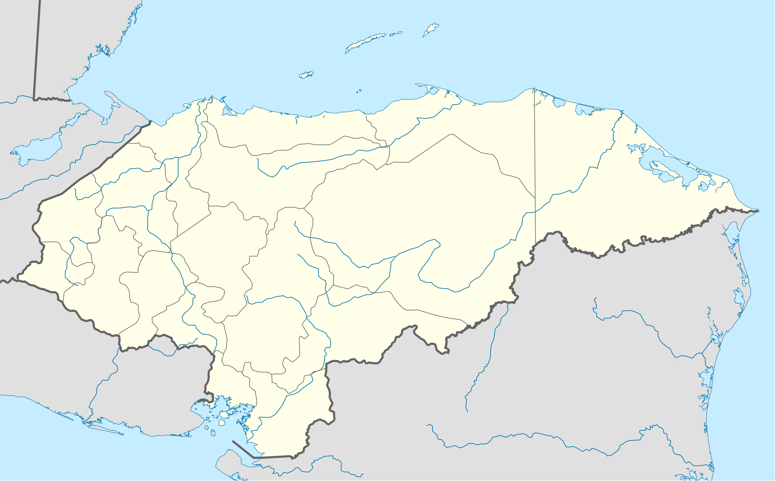
English: Location map of Honduras. Geographic limits of the map: * West : 269.50 W * East : 89.00W * North : 24.00N * South : 180.00N |
| Daatum | |
| Quejn | OpenStreetMap.org (CreativeCommons license) |
| Urhéwer | Addicted04 |
| Aundre Versióner | Abgeleitete Werke dieser Datei: Copan en Honduras.png |
| SVG‑Erstellung |
Lizenz
Diese Datei ist unter der Creative-Commons-Lizenz „Namensnennung – Weitergabe unter gleichen Bedingungen 3.0 nicht portiert“ lizenziert.
- Dieses Werk darf von dir
- vabroatt wern – vafüfötigt, vabroatt und éffantlich zuegénglich gmocht wern.
- neu zusammengestellt werden – abgewandelt und bearbeitet werden
- Zu den folgenden Bedingungen:
- Nåmansnénnung – Du musst angemessene Urheber- und Rechteangaben machen, einen Link zur Lizenz beifügen und angeben, ob Änderungen vorgenommen wurden. Diese Angaben dürfen in jeder angemessenen Art und Weise gemacht werden, allerdings nicht so, dass der Eindruck entsteht, der Lizenzgeber unterstütze gerade dich oder deine Nutzung besonders.
- Weidergob unter gleiche Bedingungan – Wenn du das Material wiedermischst, transformierst oder darauf aufbaust, musst du deine Beiträge unter der gleichen oder einer kompatiblen Lizenz wie das Original verbreiten.

|
Es ist erlaubt, die Datei unter den Bedingungen der GNU-Lizenz für freie Dokumentation, Version 1.2 oder einer späteren Version, veröffentlicht von der Free Software Foundation, zu kopieren, zu verbreiten und/oder zu modifizieren; es gibt keine unveränderlichen Abschnitte, keinen vorderen und keinen hinteren Umschlagtext.
Der vollständige Text der Lizenz ist im Kapitel GNU-Lizenz für freie Dokumentation verfügbar. |
Dateiversiona
Wensd auf an Zeitpunkt klickst, nacha konst a friaane Version lodn.
| Version vom | Vorschaubuidl | Dimensióna | Nutzer | Kommentar | |
|---|---|---|---|---|---|
| aktuell | 22:14, 15. Ókt. 2009 | | 923 × 573 (485 KB) | Addicted04 | {{Information |Description={{en|1=Location map of Honduras.<br/>Geographic limits of the map:<br/>* West : 89° 50' W<br/>* East : 83° 00' W<br/>* North : 16° 70' N<br/>* South : 12° 80' N}} |Source=OpenStreetMap.org (CreativeCommons license) |Author=[ |
Dateivawendung
Seitn wo de Datei nutzn:
Globale Dateinutzung
D'noochéfóiganden åndern Wikis vawénden dé Datei:
- Vawendung af af.wikipedia.org
- Vawendung af an.wikipedia.org
- Vawendung af ar.wikipedia.org
- Vawendung af ast.wikipedia.org
- Vawendung af az.wikipedia.org
- Vawendung af ba.wikipedia.org
- Vawendung af be-tarask.wikipedia.org
- Vawendung af be.wikipedia.org
- Vawendung af bg.wikipedia.org
- Vawendung af bn.wikipedia.org
- Vawendung af bs.wikipedia.org
- Vawendung af ca.wikipedia.org
- Vawendung af ceb.wikipedia.org
Weitere globale Verwendungen dieser Datei anschauen.