
Datei:Location of the province Palpa in Ica.svg

Größe der PNG-Vorschau dieser SVG-Datei: 456 × 599 Pixel. Weitere Auflésungan: 182 × 240 Pixel | 365 × 480 Pixel | 584 × 768 Pixel | 779 × 1.024 Pixel | 1.558 × 2.048 Pixel | 490 × 644 Pixel.
Version in hechara Auflesung (SVG-Datei, Basisgress: 490 × 644 Pixl, Dateigress: 435 KB)
Bschreiwung
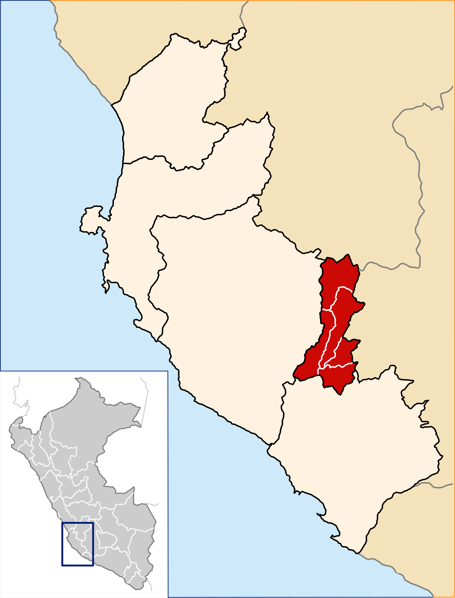
| Bschreiwung | Location of the province Palpa in the Ica region in Peru (Map) |
| Daatum | |
| Quejn | Eigenes Werk |
| Urhéwer | AgainErick |
| Gnémigung (Weidernutzung voh derer Daatei) |
GFDL |
Lizenz

|
Es ist erlaubt, die Datei unter den Bedingungen der GNU-Lizenz für freie Dokumentation, Version 1.2 oder einer späteren Version, veröffentlicht von der Free Software Foundation, zu kopieren, zu verbreiten und/oder zu modifizieren; es gibt keine unveränderlichen Abschnitte, keinen vorderen und keinen hinteren Umschlagtext.
Der vollständige Text der Lizenz ist im Kapitel GNU-Lizenz für freie Dokumentation verfügbar. |
Diese Datei ist unter den Creative-Commons-Lizenzen „Namensnennung – Weitergabe unter gleichen Bedingungen 3.0 nicht portiert“, „2.5 generisch“, „2.0 generisch“ und „1.0 generisch“ lizenziert.
- Dieses Werk darf von dir
- vabroatt wern – vafüfötigt, vabroatt und éffantlich zuegénglich gmocht wern.
- neu zusammengestellt werden – abgewandelt und bearbeitet werden
- Zu den folgenden Bedingungen:
- Nåmansnénnung – Du musst angemessene Urheber- und Rechteangaben machen, einen Link zur Lizenz beifügen und angeben, ob Änderungen vorgenommen wurden. Diese Angaben dürfen in jeder angemessenen Art und Weise gemacht werden, allerdings nicht so, dass der Eindruck entsteht, der Lizenzgeber unterstütze gerade dich oder deine Nutzung besonders.
- Weidergob unter gleiche Bedingungan – Wenn du das Material wiedermischst, transformierst oder darauf aufbaust, musst du deine Beiträge unter der gleichen oder einer kompatiblen Lizenz wie das Original verbreiten.
Dateiversiona
Wensd auf an Zeitpunkt klickst, nacha konst a friaane Version lodn.
| Version vom | Vorschaubuidl | Dimensióna | Nutzer | Kommentar | |
|---|---|---|---|---|---|
| aktuell | 23:42, 22. Aug. 2007 | | 490 × 644 (435 KB) | AgainErick | Added province borders to the Peru mini-map |
| 01:30, 19. Aug. 2007 |  | 490 × 644 (317 KB) | AgainErick | {{Information |Description=Location of the province Palpa in the Ica region in Peru (Map) |Source=own work |Date=august 19, 2007 |Author=Eric Bronder |Permission=GFDL |other_versions= }} [[Category:Locator maps of provinces of Peru|I |
Dateivawendung
Seitn wo de Datei nutzn:
Globale Dateinutzung
D'noochéfóiganden åndern Wikis vawénden dé Datei:
- Vawendung af ay.wikipedia.org
- Vawendung af de.wikipedia.org
- Vawendung af en.wikipedia.org
- Vawendung af es.wikipedia.org
- Vawendung af fa.wikipedia.org
- Vawendung af fr.wikipedia.org
- Vawendung af ia.wikipedia.org
- Vawendung af it.wikipedia.org
- Vawendung af ka.wikipedia.org
- Vawendung af lt.wikipedia.org
- Vawendung af nl.wikipedia.org
- Vawendung af pt.wikipedia.org
- Vawendung af qu.wikipedia.org
- Vawendung af ru.wikipedia.org
- Vawendung af vi.wikipedia.org
- Vawendung af www.wikidata.org
- Vawendung af xmf.wikipedia.org
- Vawendung af zh-min-nan.wikipedia.org