
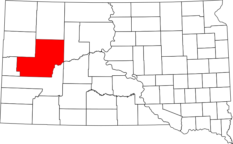
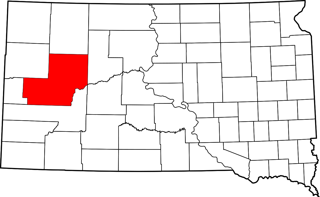
Datei:Map of South Dakota highlighting Meade County.svg

Größe der PNG-Vorschau dieser SVG-Datei: 800 × 492 Pixel. Weitere Auflésungan: 320 × 197 Pixel | 640 × 394 Pixel | 1.024 × 630 Pixel | 1.280 × 788 Pixel | 2.560 × 1.576 Pixel | 6.226 × 3.832 Pixel.
Version in hechara Auflesung (SVG-Datei, Basisgress: 6.226 × 3.832 Pixl, Dateigress: 47 KB)
Bschreiwung
- David Benbennick made this map.
- For more information, see Commons:United States county locator maps.
| Ich, der Urheberrechtsinhaber dieses Werkes, veröffentliche es als gemeinfrei. Dies gilt weltweit. In manchen Staaten könnte dies rechtlich nicht möglich sein. Sofern dies der Fall ist: Ich gewähre jedem das bedingungslose Recht, dieses Werk für jedweden Zweck zu nutzen, es sei denn, Bedingungen sind gesetzlich erforderlich. |
Dateiversiona
Wensd auf an Zeitpunkt klickst, nacha konst a friaane Version lodn.
| Version vom | Vorschaubuidl | Dimensióna | Nutzer | Kommentar | |
|---|---|---|---|---|---|
| aktuell | 18:29, 12. Few. 2006 | | 6.226 × 3.832 (47 KB) | David Benbennick | {{subst:User:Dbenbenn/clm|county=Meade County|state=South Dakota|type=county}} |
Dateivawendung
Seitn wo de Datei nutzn:
Globale Dateinutzung
D'noochéfóiganden åndern Wikis vawénden dé Datei:
- Vawendung af ar.wikipedia.org
- Vawendung af bg.wikipedia.org
- Vawendung af bpy.wikipedia.org
- Vawendung af ca.wikipedia.org
- Vawendung af cdo.wikipedia.org
- Vawendung af ceb.wikipedia.org
- Vawendung af ce.wikipedia.org
- Vawendung af cs.wikipedia.org
- Vawendung af cy.wikipedia.org
- Vawendung af de.wikipedia.org
- Vawendung af en.wikipedia.org
- List of counties in South Dakota
- Meade County, South Dakota
- Blackhawk, South Dakota
- Faith, South Dakota
- Sturgis, South Dakota
- Box Elder, South Dakota
- Ellsworth Air Force Base
- Elm Springs, South Dakota
- Enning, South Dakota
- Howes, South Dakota
- Piedmont, South Dakota
- Union Center, South Dakota
- Cheyenne River Indian Reservation
- Northern Cheyenne Indian Reservation
- Summerset, South Dakota
- Mud Butte, South Dakota
- White Owl, South Dakota
- Template:Meade County, South Dakota
- User:Nyttend/County templates/SD
- National Register of Historic Places listings in Meade County, South Dakota
- User:Dcmacnut/Tilford, South Dakota
- Category:Populated places in Meade County, South Dakota
- Tilford, South Dakota
Weitere globale Verwendungen dieser Datei anschauen.