
Datei:Nigeria Local Government Areas.png
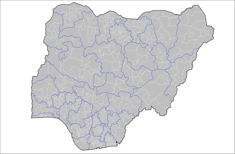
Gress dea Voaschau: 800 × 527 Pixel Weitere Auflésungan: 320 × 211 Pixel | 640 × 421 Pixel | 1.024 × 674 Pixel | 1.280 × 843 Pixel | 1.601 × 1.054 Pixel.
Version in hechara Auflesung (1.601 × 1.054 Pixel, Dateigress: 71 KB, MIME-Typ: image/png)
Birnin magaji
Bschreiwung
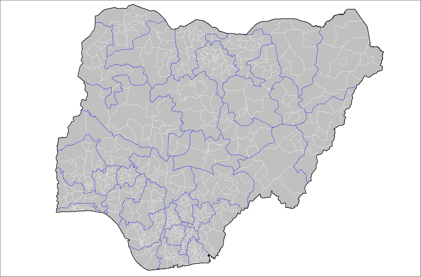
| Bschreiwung | Map of the local government areas of Nigeria. Created by Rarelibra 15:42, 12 July 2007 (UTC) using MapInfo Professional v8.5 and various mapping resources. |
| Daatum | 12. Juli 2007 (Original-Hochladedatum) |
| Quejn | Die Autorenschaft wurde nicht in einer maschinell lesbaren Form angegeben. Es wird angenommen, dass es sich um ein eigenes Werk handelt (basierend auf den Rechteinhaber-Angaben). |
| Urhéwer | Die Autorenschaft wurde nicht in einer maschinell lesbaren Form angegeben. Es wird Rarelibra als Autor angenommen (basierend auf den Rechteinhaber-Angaben). |
Lizenz
| Dieses Werk wurde von seinem Urheber I, Rarelibra als gemeinfrei veröffentlicht. Dies gilt weltweit. In manchen Staaten könnte dies rechtlich nicht möglich sein. Sofern dies der Fall ist: I, Rarelibra gewährt jedem das bedingungslose Recht, dieses Werk für jedweden Zweck zu nutzen, es sei denn, Bedingungen sind gesetzlich erforderlich. |
Dateiversiona
Wensd auf an Zeitpunkt klickst, nacha konst a friaane Version lodn.
| Version vom | Vorschaubuidl | Dimensióna | Nutzer | Kommentar | |
|---|---|---|---|---|---|
| aktuell | 17:42, 12. Jul. 2007 | | 1.601 × 1.054 (71 KB) | Rarelibra | Map of the local government areas of Nigeria. Created by ~~~~ using MapInfo Professional v8.5 and various mapping resources. |
Dateivawendung
Seitn wo de Datei nutzn:
Globale Dateinutzung
D'noochéfóiganden åndern Wikis vawénden dé Datei:
- Vawendung af da.wikipedia.org
- Vawendung af de.wikipedia.org
- Vawendung af en.wikipedia.org
- Vawendung af es.wikipedia.org
- Vawendung af fr.wikipedia.org
- Vawendung af gl.wikipedia.org
- Vawendung af ha.wikipedia.org
- Vawendung af it.wikipedia.org
- Vawendung af kcg.wikipedia.org
- Vawendung af pt.wikipedia.org
- Vawendung af ru.wikipedia.org
- Vawendung af ur.wikipedia.org
- Vawendung af www.wikidata.org
- Vawendung af yo.wikipedia.org
- Vawendung af zh.wikipedia.org