
Datei:Saint Vincent and the Grenadines relief location map.jpg

Gress dea Voaschau: 477 × 599 Pixel Weitere Auflésungan: 191 × 240 Pixel | 382 × 480 Pixel | 611 × 768 Pixel | 1.060 × 1.332 Pixel.
Version in hechara Auflesung (1.060 × 1.332 Pixel, Dateigress: 194 KB, MIME-Typ: image/jpeg)
| Bschreiwung |
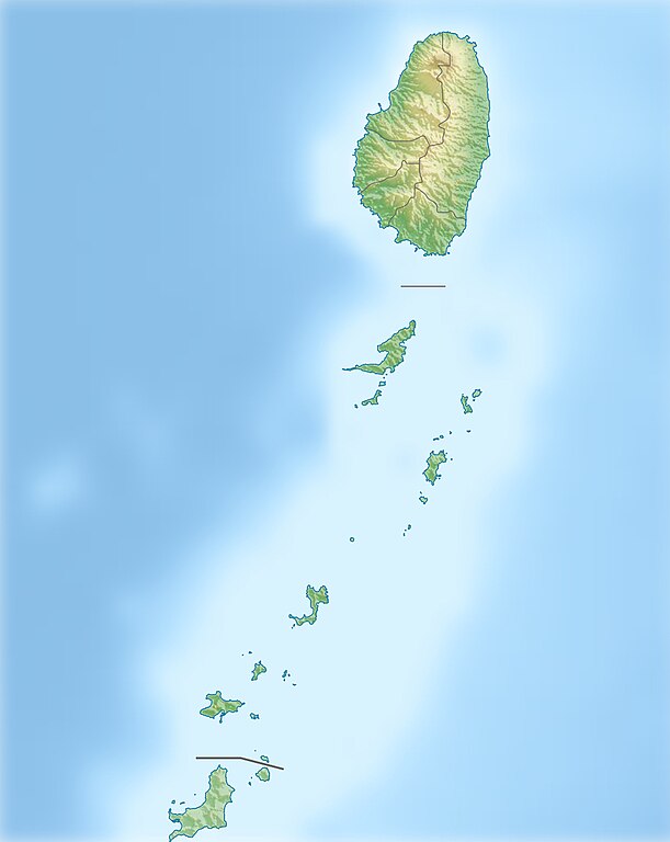
Deutsch: Physische Positionskarte von St. Vincent und die Grenadinen
Geographische Begrenzung der Karte:
English: Location map of Saint Vincent und the Grenadines
Geographic limits of the map:
|
| Daatum | |
| Quejn |
Eigenes Werk, using
|
| Urhéwer | Carport |
| Gnémigung (Weidernutzung voh derer Daatei) |
Diese Datei ist unter der Creative-Commons-Lizenz „Namensnennung – Weitergabe unter gleichen Bedingungen 3.0 nicht portiert“ lizenziert.
|
| Aundre Versióner |
|

Dateiversiona
Wensd auf an Zeitpunkt klickst, nacha konst a friaane Version lodn.
| Version vom | Vorschaubuidl | Dimensióna | Nutzer | Kommentar | |
|---|---|---|---|---|---|
| aktuell | 12:52, 1. Jén. 2013 | | 1.060 × 1.332 (194 KB) | Carport | {{Information |Description= {{de|Physische Positionskarte von St. Vincent und die Grenadinen}} Geographische Begrenzung der Karte: * N: 13.42° N * S: 12.44° N * W: 61.7° W * O: 60.9° W {{en|Location map of [[:... |
Dateivawendung
Seitn wo de Datei nutzn:
Globale Dateinutzung
D'noochéfóiganden åndern Wikis vawénden dé Datei:
- Vawendung af ar.wikipedia.org
- Vawendung af ast.wikipedia.org
- Vawendung af az.wikipedia.org
- Vawendung af bg.wikipedia.org
- Vawendung af bn.wikipedia.org
- Vawendung af bs.wikipedia.org
- Vawendung af ceb.wikipedia.org
- Vawendung af da.wikipedia.org
- Vawendung af de.wikipedia.org
- St. Vincent und die Grenadinen
- Mustique
- Bequia
- Soufrière (St. Vincent)
- Union Island
- Canouan
- Tobago Cays
- Mayreau
- Palm Island (Grenadinen)
- Wikipedia:Kartenwerkstatt/Positionskarten/Nordamerika
- Petit St. Vincent
- Baliceaux
- Vorlage:Positionskarte St. Vincent und die Grenadinen
- Young Island (Grenadinen)
- Pigeon Island (Grenadinen)
- Saint Elairs Cay
- Samples Cay
- Grand Bonhomme
- All Awash Island
- Big Pillory
- Middle Pillory
- Little Pillory
- Rabbit Island (Grenadinen)
- Savan Island
- Little Savan
- Petit Canouan
- Petite Nevis
- Petite Mustique
- Isle à Quatre
- Wallilabou Bay
- Petit Bonhomme (St. Vincent)
- Mount Saint Andrew
- Milligan Cay
- Bettowia
- Church Cay
- Bullet (Grenadinen)
- Garlin Cay
- Catholic Island
Weitere globale Verwendungen dieser Datei anschauen.