
Datei:Administrative map of the Lautem district of East Timor.png

Gress dea Voaschau: 800 × 545 Pixel Weitere Auflésungan: 320 × 218 Pixel | 640 × 436 Pixel | 1.024 × 697 Pixel | 1.280 × 871 Pixel | 2.405 × 1.637 Pixel.
Version in hechara Auflesung (2.405 × 1.637 Pixel, Dateigress: 288 KB, MIME-Typ: image/png)
| Bschreiwung |
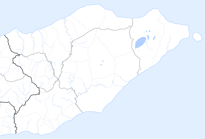
Deutsch: Verwaltungskarte des Distrikts Lautam in Osttimor
English: Administrative map of the Lautam district of East Timor |
| Daatum | |
| Quejn | Self made, using informations from theTimor-Leste GIS Portal |
| Urhéwer | Maximilian Dörrbecker (Chumwa) |
| Gnémigung (Weidernutzung voh derer Daatei) |
Diese Datei ist unter der Creative-Commons-Lizenz „Namensnennung – Weitergabe unter gleichen Bedingungen 2.5 generisch“ (US-amerikanisch) lizenziert.
Sie dürfen das Bild zu den folgenden Bedingungen nutzen:
|
Dateiversiona
Wensd auf an Zeitpunkt klickst, nacha konst a friaane Version lodn.
| Version vom | Vorschaubuidl | Dimensióna | Nutzer | Kommentar | |
|---|---|---|---|---|---|
| aktuell | 07:14, 22. Sep. 2009 | | 2.405 × 1.637 (288 KB) | Chumwa | auf Blank Map zurückgesetzt |
| 07:47, 18. Sep. 2009 |  | 2.405 × 1.637 (322 KB) | Chumwa | {{Information |Description= {{ de }} Verwaltungskarte des Distrikts Lautam in Osttimor {{ en }} Administrative map of the Lautam district of East Timor |Source=Self made, using informations from the[http://websig.civil.ist.utl.pt/timorgis Timor-Leste GIS |
Dateivawendung
Koa Seitn nutzt de Datei.
Globale Dateinutzung
D'noochéfóiganden åndern Wikis vawénden dé Datei:
- Vawendung af de.wikipedia.org