
Datei:Gabon Map.jpg
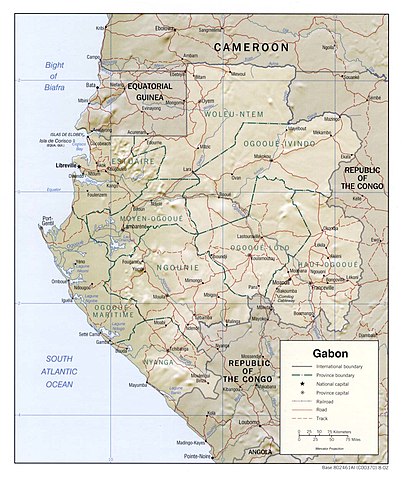
Gress dea Voaschau: 502 × 600 Pixel Weitere Auflésungan: 201 × 240 Pixel | 402 × 480 Pixel | 643 × 768 Pixel | 1.048 × 1.252 Pixel.
Version in hechara Auflesung (1.048 × 1.252 Pixel, Dateigress: 196 KB, MIME-Typ: image/jpeg)
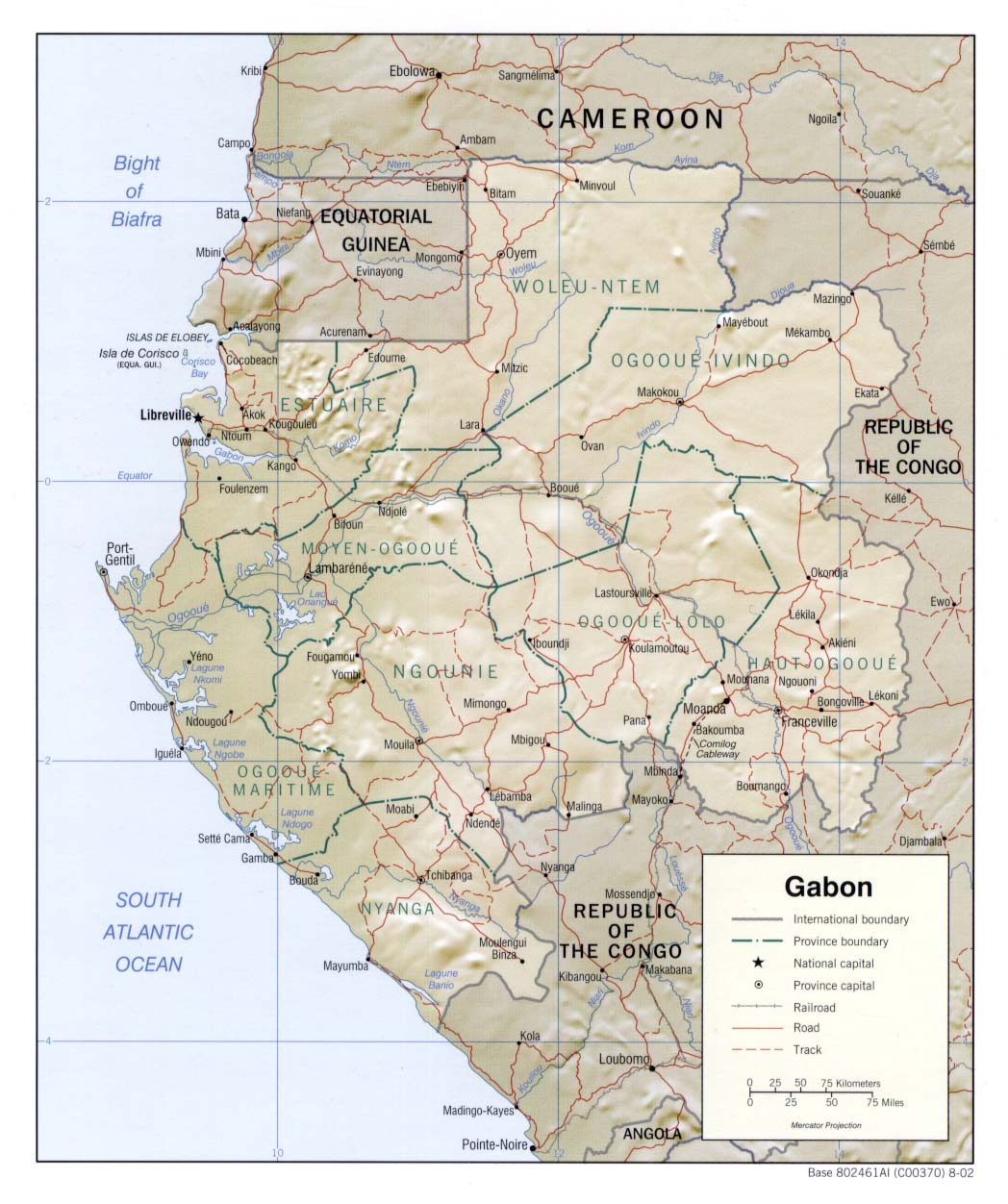
| Bschreiwung | Shaded relief map of Gabon. | |||
| Daatum | ||||
| Quejn | [1] from the Perry-Castañeda Library Map Collection. | |||
| Urhéwer | CIA | |||
| Gnémigung (Weidernutzung voh derer Daatei) |
|

![[1]](http://www.lib.utexas.edu/maps/africa/gabon_rel_2002.jpg)
Dateiversiona
Wensd auf an Zeitpunkt klickst, nacha konst a friaane Version lodn.
| Version vom | Vorschaubuidl | Dimensióna | Nutzer | Kommentar | |
|---|---|---|---|---|---|
| aktuell | 13:28, 22. Few. 2006 | | 1.048 × 1.252 (196 KB) | Lupo | Shaded relief map of Gabon. Source: [http://www.lib.utexas.edu/maps/africa/gabon_rel_2002.jpg] from the [http://www.lib.utexas.edu/maps/gabon.html Perry-Castañeda Library Map Collection]. {{PD-USGov-CIA}} Category:Maps of Gabon |
Dateivawendung
Seitn wo de Datei nutzn:
Globale Dateinutzung
D'noochéfóiganden åndern Wikis vawénden dé Datei:
- Vawendung af ady.wikipedia.org
- Vawendung af en.wikipedia.org
- Vawendung af it.wikipedia.org
- Vawendung af lfn.wikipedia.org
- Vawendung af ru.wikipedia.org
- Vawendung af uk.wikipedia.org
- Vawendung af vec.wikipedia.org