
Datei:Periferia Attikis.png

Gress dea Voaschau: 706 × 599 Pixel Weitere Auflésungan: 283 × 240 Pixel | 566 × 480 Pixel.
Version in hechara Auflesung (800 × 679 Pixel, Dateigress: 92 KB, MIME-Typ: image/png)
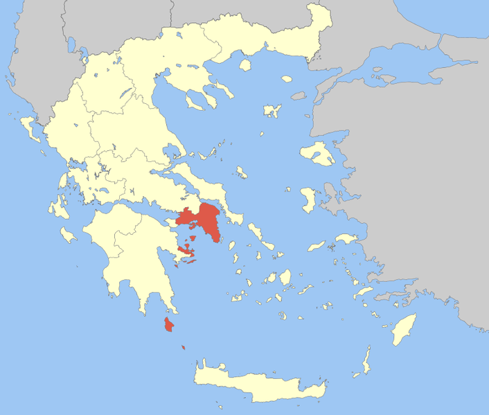
| Bschreiwung | Locator Map of Attica Periphery, Greece |
| Daatum | |
| Quejn | Eigenes Werk |
| Urhéwer | Pitichinaccio |
| Ich, der Urheberrechtsinhaber dieses Werkes, veröffentliche es als gemeinfrei. Dies gilt weltweit. In manchen Staaten könnte dies rechtlich nicht möglich sein. Sofern dies der Fall ist: Ich gewähre jedem das bedingungslose Recht, dieses Werk für jedweden Zweck zu nutzen, es sei denn, Bedingungen sind gesetzlich erforderlich. |
Dateiversiona
Wensd auf an Zeitpunkt klickst, nacha konst a friaane Version lodn.
| Version vom | Vorschaubuidl | Dimensióna | Nutzer | Kommentar | |
|---|---|---|---|---|---|
| aktuell | 13:44, 5. Apr. 2008 | | 800 × 679 (92 KB) | Pitichinaccio | {{Information |Description=Locator Map of Attica Periphery, Greece |Source=eigene Arbeit |Date=April 5, 2008 |Author= Pitichinaccio }} {{PD-self}} Category:Periphery maps of Greece |
Dateivawendung
Seitn wo de Datei nutzn:
Globale Dateinutzung
D'noochéfóiganden åndern Wikis vawénden dé Datei:
- Vawendung af ay.wikipedia.org
- Vawendung af br.wikipedia.org
- Vawendung af ca.wikipedia.org
- Vawendung af da.wikipedia.org
- Vawendung af de.wikipedia.org
- Vawendung af el.wikipedia.org
- Vawendung af en.wikipedia.org
- Athens
- Aegina
- Megara
- Marathon, Greece
- Hydra (island)
- Elefsina
- Salamis Island
- Piraeus
- Poros
- Kythira
- Kifissia
- Chalandri
- Agia Paraskevi
- Korydallos
- Nea Ionia
- Vrilissia
- Marousi
- Paiania
- Aigaleo
- Glyfada
- Aspropyrgos
- Kallithea
- Perama
- Acharnes
- Peristeri
- Spetses
- Galatsi
- Zografou
- Kaisariani
- Nea Smyrni
- Vyronas
- Ilioupoli
- Agios Dimitrios
- Palaio Faliro
- Agia Varvara
- Haidari
- Petroupoli
- Ilion, Greece
- Metamorfosi
- Irakleio, Attica
- Oropos
- Kropia
Weitere globale Verwendungen dieser Datei anschauen.