
Datei:Periferia Thessalias.png

Gress dea Voaschau: 706 × 599 Pixel Weitere Auflésungan: 283 × 240 Pixel | 566 × 480 Pixel.
Version in hechara Auflesung (800 × 679 Pixel, Dateigress: 92 KB, MIME-Typ: image/png)
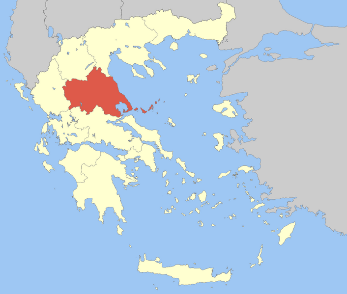
| Bschreiwung | Locator Map of Thessaly Periphery, Greece |
| Daatum | |
| Quejn | Eigenes Werk |
| Urhéwer | Pitichinaccio |
| Ich, der Urheberrechtsinhaber dieses Werkes, veröffentliche es als gemeinfrei. Dies gilt weltweit. In manchen Staaten könnte dies rechtlich nicht möglich sein. Sofern dies der Fall ist: Ich gewähre jedem das bedingungslose Recht, dieses Werk für jedweden Zweck zu nutzen, es sei denn, Bedingungen sind gesetzlich erforderlich. |
Dateiversiona
Wensd auf an Zeitpunkt klickst, nacha konst a friaane Version lodn.
| Version vom | Vorschaubuidl | Dimensióna | Nutzer | Kommentar | |
|---|---|---|---|---|---|
| aktuell | 13:51, 5. Apr. 2008 | | 800 × 679 (92 KB) | Pitichinaccio | {{Information |Description=Locator Map of Thessaly Periphery, Greece |Source=eigene Arbeit |Date=April 5, 2008 |Author= Pitichinaccio }} {{PD-self}} Category:Periphery maps of Greece |
Dateivawendung
Seitn wo de Datei nutzn:
Globale Dateinutzung
D'noochéfóiganden åndern Wikis vawénden dé Datei:
- Vawendung af ay.wikipedia.org
- Vawendung af de.wikipedia.org
- Vawendung af en.wikipedia.org
- Larissa
- Thessaly
- Trikala
- Magnesia (regional unit)
- Sporades
- Volos
- Karditsa (regional unit)
- Almyros
- Skiathos
- Karditsa
- Skopelos
- Alonnisos
- Palamas
- Sofades
- Farsala
- Larissa (regional unit)
- Trikala (regional unit)
- Elassona
- Kileler
- Argithea
- Mouzaki
- Agia, Larissa
- Tyrnavos
- Pyli
- Farkadona
- Template:Thessaly
- Lake Plastiras (municipality)
- Tempi (municipality)
- Rigas Feraios (municipality)
- South Pelion
- Zagora-Mouresi
- Meteora (municipality)
- Vawendung af eo.wikipedia.org
- Vawendung af fa.wikipedia.org
- Vawendung af fo.wikipedia.org
- Vawendung af fr.wikipedia.org
Weitere globale Verwendungen dieser Datei anschauen.