
Datei:Bulgaria location map.svg

Größe der PNG-Vorschau dieser SVG-Datei: 800 × 505 Pixel. Weitere Auflésungan: 320 × 202 Pixel | 640 × 404 Pixel | 1.024 × 646 Pixel | 1.280 × 808 Pixel | 2.560 × 1.615 Pixel | 1.642 × 1.036 Pixel.
Version in hechara Auflesung (SVG-Datei, Basisgress: 1.642 × 1.036 Pixl, Dateigress: 275 KB)
Bschreiwung
| Bschreiwung |
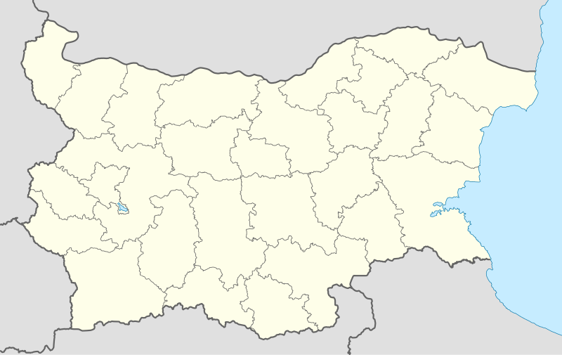
Deutsch: Positionskarte von Bulgarien
Quadratische Plattkarte, N-S-Streckung 130 %. Geographische Begrenzung der Karte:
English: Location map of Bulgaria
Equirectangular projection, N/S stretching 130 %. Geographic limits of the map:
|
| Daatum | 05-08-2008 |
| Quejn |
own work, using
|
| Urhéwer | NordNordWest |
| Aundre Versióner |
Derivative works of this file:
|
.svg)

|
Diese Karte wurde in der Kartenwerkstatt erstellt oder verbessert. Auch du kannst dort Karten vorschlagen, die zu erstellen, verändern oder übersetzen sind.
|
Lizenz

|
Es ist erlaubt, die Datei unter den Bedingungen der GNU-Lizenz für freie Dokumentation, Version 1.2 oder einer späteren Version, veröffentlicht von der Free Software Foundation, zu kopieren, zu verbreiten und/oder zu modifizieren; es gibt keine unveränderlichen Abschnitte, keinen vorderen und keinen hinteren Umschlagtext.
Der vollständige Text der Lizenz ist im Kapitel GNU-Lizenz für freie Dokumentation verfügbar. |
Diese Datei ist unter der Creative-Commons-Lizenz „Namensnennung – Weitergabe unter gleichen Bedingungen 3.0 nicht portiert“ lizenziert.
- Dieses Werk darf von dir
- vabroatt wern – vafüfötigt, vabroatt und éffantlich zuegénglich gmocht wern.
- neu zusammengestellt werden – abgewandelt und bearbeitet werden
- Zu den folgenden Bedingungen:
- Nåmansnénnung – Du musst angemessene Urheber- und Rechteangaben machen, einen Link zur Lizenz beifügen und angeben, ob Änderungen vorgenommen wurden. Diese Angaben dürfen in jeder angemessenen Art und Weise gemacht werden, allerdings nicht so, dass der Eindruck entsteht, der Lizenzgeber unterstütze gerade dich oder deine Nutzung besonders.
- Weidergob unter gleiche Bedingungan – Wenn du das Material wiedermischst, transformierst oder darauf aufbaust, musst du deine Beiträge unter der gleichen oder einer kompatiblen Lizenz wie das Original verbreiten.
Dateiversiona
Wensd auf an Zeitpunkt klickst, nacha konst a friaane Version lodn.
| Version vom | Vorschaubuidl | Dimensióna | Nutzer | Kommentar | |
|---|---|---|---|---|---|
| aktuell | 20:28, 6. Ókt. 2010 | | 1.642 × 1.036 (275 KB) | NordNordWest | upd |
| 20:23, 12. Aug. 2009 |  | 1.536 × 970 (204 KB) | Пакко | fixed Iskar Lake | |
| 20:12, 3. Aug. 2009 |  | 1.534 × 967 (207 KB) | Пакко | fixed some borders according to current administrative division | |
| 20:52, 25. Aug. 2008 |  | 1.645 × 1.038 (297 KB) | NordNordWest | size correction | |
| 14:25, 12. Aug. 2008 |  | 548 × 346 (291 KB) | NordNordWest | corrected | |
| 22:30, 5. Aug. 2008 |  | 548 × 346 (289 KB) | NordNordWest | {{Information |Description= {{de|Positionskarte von Bulgarien}} Quadratische Plattkarte, N-S-Streckung 130 %. Geographische Begrenzung der Karte: * N: 44.4° N * S: 41.1° N * W: 22.1° O * O: 28.9° O {{en|Location map of [[:en:Bulgaria |
Dateivawendung
Seitn wo de Datei nutzn:
Globale Dateinutzung
D'noochéfóiganden åndern Wikis vawénden dé Datei:
- Vawendung af af.wikipedia.org
- Vawendung af als.wikipedia.org
- Vawendung af am.wikipedia.org
- Vawendung af an.wikipedia.org
- Vawendung af ar.wikipedia.org
- Vawendung af arz.wikipedia.org
- Vawendung af ast.wikipedia.org
- Burgas
- Sofía
- Varna
- Plovdiv
- Veliko Tarnovo
- Stara Zagora
- Pleven
- Vidin
- Asenovgrad
- Montes Rila
- Sredna Gora
- Ruse
- Catedral d'Alexandre Nevski de Sofía
- Módulu:Mapa de llocalización/datos/Bulgaria
- Aeropuertu de Burgas
- Aeropuertu de Plovdiv
- Aeropuertu de Sofía
- Aeropuertu de Varna
- Puertu de Burgas
- Puertu de Varna
- Módulu:Mapa de llocalización/datos/Bulgaria/usu
- Vawendung af azb.wikipedia.org
Weitere globale Verwendungen dieser Datei anschauen.