
Datei:Burkina Faso relief location map.jpg
Gress dea Voaschau: 800 × 589 Pixel Weitere Auflésungan: 320 × 236 Pixel | 640 × 471 Pixel | 900 × 663 Pixel.
Version in hechara Auflesung (900 × 663 Pixel, Dateigress: 527 KB, MIME-Typ: image/jpeg)
Bschreiwung
| Bschreiwung |
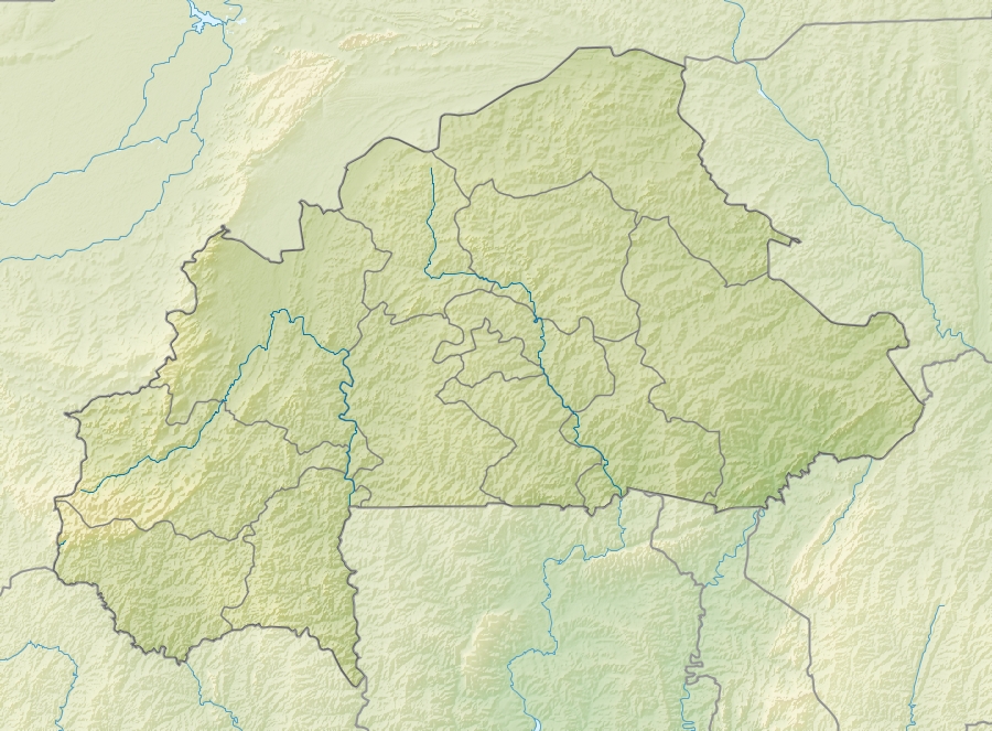
English: Location map of Burkina Faso Equirectangular projection. Strechted by 102%. Geographic limits of the map:
  * N: 15.5° N
  * S: 9° N
  * W: 6° W
  * E: 3° E
Made with Natural Earth. Free vector and raster map data @ naturalearthdata.com. |
| Daatum | |
| Quejn | Eigenes Werk |
| Urhéwer | Uwe Dedering |
| Aundre Versióner |
|

Lizenz
Diese Datei ist unter der Creative-Commons-Lizenz „Namensnennung – Weitergabe unter gleichen Bedingungen 3.0 nicht portiert“ lizenziert.
- Dieses Werk darf von dir
- vabroatt wern – vafüfötigt, vabroatt und éffantlich zuegénglich gmocht wern.
- neu zusammengestellt werden – abgewandelt und bearbeitet werden
- Zu den folgenden Bedingungen:
- Nåmansnénnung – Du musst angemessene Urheber- und Rechteangaben machen, einen Link zur Lizenz beifügen und angeben, ob Änderungen vorgenommen wurden. Diese Angaben dürfen in jeder angemessenen Art und Weise gemacht werden, allerdings nicht so, dass der Eindruck entsteht, der Lizenzgeber unterstütze gerade dich oder deine Nutzung besonders.
- Weidergob unter gleiche Bedingungan – Wenn du das Material wiedermischst, transformierst oder darauf aufbaust, musst du deine Beiträge unter der gleichen oder einer kompatiblen Lizenz wie das Original verbreiten.

|
Es ist erlaubt, die Datei unter den Bedingungen der GNU-Lizenz für freie Dokumentation, Version 1.2 oder einer späteren Version, veröffentlicht von der Free Software Foundation, zu kopieren, zu verbreiten und/oder zu modifizieren; es gibt keine unveränderlichen Abschnitte, keinen vorderen und keinen hinteren Umschlagtext.
Der vollständige Text der Lizenz ist im Kapitel GNU-Lizenz für freie Dokumentation verfügbar. |
Dateiversiona
Wensd auf an Zeitpunkt klickst, nacha konst a friaane Version lodn.
| Version vom | Vorschaubuidl | Dimensióna | Nutzer | Kommentar | |
|---|---|---|---|---|---|
| aktuell | 13:30, 24. Apr. 2010 | | 900 × 663 (527 KB) | Uwe Dedering | {{Information |Description={{en|1=English: Location map of Burkina Faso Equirectangular projection. Strechted by 102%. Geographic limits of the map: * N: 15.5° N * S: 9° N * W: 6° W * E: 3° E Made with Natural Earth. Free vector and rast |
Dateivawendung
Seitn wo de Datei nutzn:
Globale Dateinutzung
D'noochéfóiganden åndern Wikis vawénden dé Datei:
- Vawendung af als.wikipedia.org
- Vawendung af ast.wikipedia.org
- Vawendung af az.wikipedia.org
- Vawendung af ba.wikipedia.org
- Vawendung af be.wikipedia.org
- Vawendung af bg.wikipedia.org
- Vawendung af bn.wikipedia.org
- Vawendung af bs.wikipedia.org
- Vawendung af ca.wikipedia.org
- Vawendung af ceb.wikipedia.org
- Vawendung af ce.wikipedia.org
- Vawendung af ckb.wikipedia.org
- Vawendung af cs.wikipedia.org
- Vawendung af da.wikipedia.org
- Vawendung af de.wikipedia.org
- Burkina Faso
- Obervolta
- Tena Kourou
- Cascades de Karfiguéla
- Mare d’Oursi
- Mare aux Hippopotames
- Tengrélasee
- Bamsee
- Demsee
- Vorlage:Positionskarte Burkina Faso
- Kompienga-Stausee
- Pic de Nahouri
- Bagré-Stausee
- Ziga-Stausee
- Wikipedia:Kartenwerkstatt/Positionskarten/Afrika
- Benutzer:Uwe Dedering
- Benutzer:Uwe Dedering/Länderliste
- Goldtagebau Essakane
- Vawendung af de.wikivoyage.org
Weitere globale Verwendungen dieser Datei anschauen.