
Datei:Grenada location map.svg

Größe der PNG-Vorschau dieser SVG-Datei: 634 × 599 Pixel. Weitere Auflésungan: 254 × 240 Pixel | 508 × 480 Pixel | 813 × 768 Pixel | 1.084 × 1.024 Pixel | 2.167 × 2.048 Pixel | 1.435 × 1.356 Pixel.
Version in hechara Auflesung (SVG-Datei, Basisgress: 1.435 × 1.356 Pixl, Dateigress: 134 KB)
Bschreiwung
| Bschreiwung |
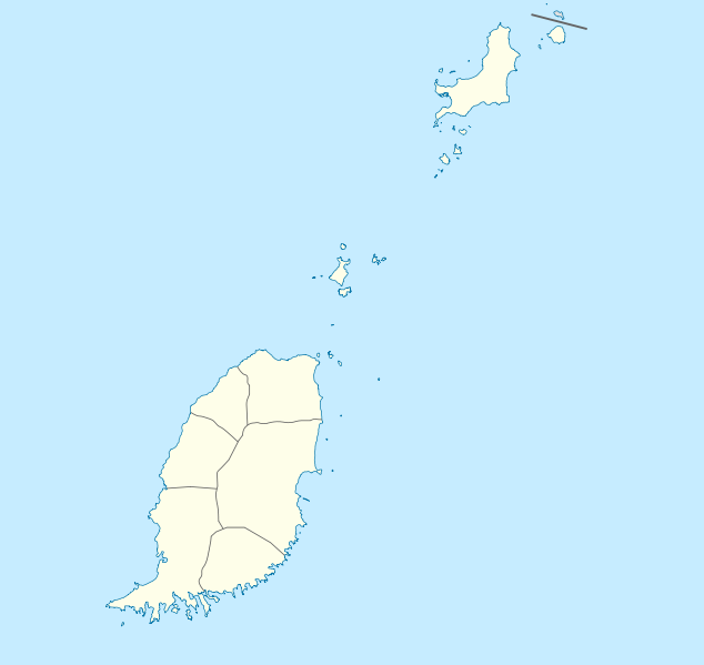
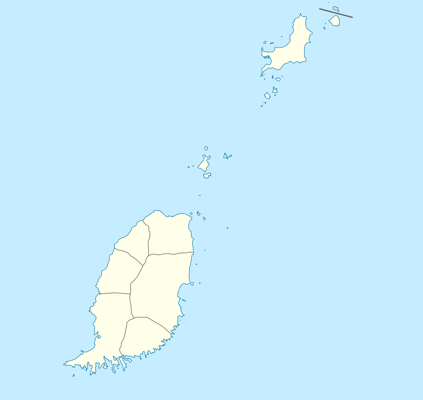
Deutsch: Positionskarte von Grenada
Geographische Begrenzung der Karte:
English: Location map of Grenada
Geographic limits of the map:
|
||||||||||||
| Daatum | |||||||||||||
| Quejn | Eigenes Werk | ||||||||||||
| Urhéwer | NordNordWest | ||||||||||||
| Gnémigung (Weidernutzung voh derer Daatei) |
|

|
Diese Karte wurde in der Kartenwerkstatt erstellt oder verbessert. Auch du kannst dort Karten vorschlagen, die zu erstellen, verändern oder übersetzen sind.
|
Dateiversiona
Wensd auf an Zeitpunkt klickst, nacha konst a friaane Version lodn.
| Version vom | Vorschaubuidl | Dimensióna | Nutzer | Kommentar | |
|---|---|---|---|---|---|
| aktuell | 21:56, 18. Dez. 2009 | | 1.435 × 1.356 (134 KB) | NordNordWest | == {{int:filedesc}} == {{Information |Description= {{de|Positionskarte von Grenada}} Geographische Begrenzung der Karte: * N: 12.55° N * S: 11.95° N * W: 61.9° W * O: 61.25° W {{en|Location map of Grenada}} Geographic l |
Dateivawendung
Seitn wo de Datei nutzn:
Globale Dateinutzung
D'noochéfóiganden åndern Wikis vawénden dé Datei:
- Vawendung af af.wikipedia.org
- Vawendung af an.wikipedia.org
- Vawendung af ar.wikipedia.org
- Vawendung af ast.wikipedia.org
- Vawendung af ba.wikipedia.org
- Vawendung af be-tarask.wikipedia.org
- Vawendung af be.wikipedia.org
- Vawendung af bg.wikipedia.org
- Vawendung af bn.wikipedia.org
- Vawendung af bs.wikipedia.org
- Vawendung af ceb.wikipedia.org
- Plantilya:Location map Grenada
- The Sisters
- Sandy Island
- Sandy Islet
- Saint John
- Saint George
- Redonda
- Green Island
- Green Islet
- Goat Point
- Bird Island
- Bird Islet
- North Point
- Victoria
- Saint George’s Bay
- Rose Rock
- Black Rock
- Long Point
- Sugar Loaf
- Hog Island
- Southwest Point
- Sister Rocks
- Gun Point
- Flamingo Bay
- Ross Point
- Bird
- White Island
- Hope Island
Weitere globale Verwendungen dieser Datei anschauen.