
Datei:Map of Italy blank.svg

Größe der PNG-Vorschau dieser SVG-Datei: 480 × 600 Pixel. Weitere Auflésungan: 192 × 240 Pixel | 384 × 480 Pixel | 614 × 768 Pixel | 819 × 1.024 Pixel | 1.638 × 2.048 Pixel | 1.200 × 1.500 Pixel.
Version in hechara Auflesung (SVG-Datei, Basisgress: 1.200 × 1.500 Pixl, Dateigress: 822 KB)
Bschreiwung
| Bschreiwung |
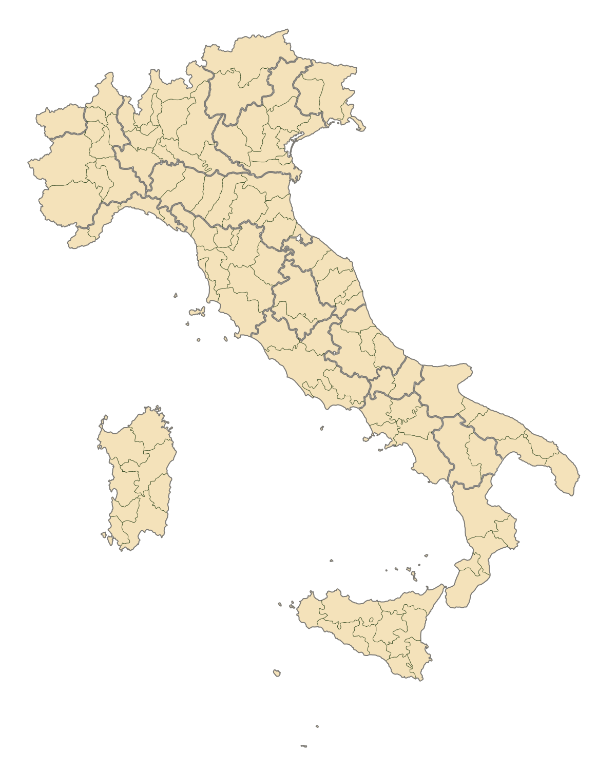
English: Blank map of Italy, divided in provinces. It can be easily divided even in regions. Situation before 2009. |
||
| Daatum | |||
| Quejn | Eigenes Werk | ||
| Urhéwer | F l a n k e r | ||
| Gnémigung (Weidernutzung voh derer Daatei) |
|
||
| Aundre Versióner |
Derivative works of this file: |
.svg)
.svg)
.svg)
.svg)
.svg)
.svg)
Dateiversiona
Wensd auf an Zeitpunkt klickst, nacha konst a friaane Version lodn.
| Version vom | Vorschaubuidl | Dimensióna | Nutzer | Kommentar | |
|---|---|---|---|---|---|
| aktuell | 21:42, 2. Aug. 2015 | | 1.200 × 1.500 (822 KB) | Carnby | IT-TS+IT-88 |
| 00:54, 1. Aug. 2015 |  | 1.200 × 1.500 (823 KB) | Carnby | Rimini | |
| 21:56, 3. Dez. 2009 |  | 1.200 × 1.500 (821 KB) | F l a n k e r | Added provinces of Molise | |
| 02:15, 3. Dez. 2009 |  | 1.200 × 1.500 (820 KB) | Vonvikken | Fixed wrong borders between Abruzzo and Molise | |
| 13:58, 28. Mer. 2007 |  | 1.200 × 1.500 (828 KB) | F l a n k e r | ||
| 19:56, 12. Jén. 2007 |  | 1.200 × 1.500 (552 KB) | F l a n k e r | ||
| 14:10, 19. Nóv. 2006 |  | 1.200 × 1.500 (559 KB) | F l a n k e r | {{Information |Description=Blank map of Italy, divided in provinces. It can be easily divided even in regions. |Source= |Date=19 Nov. 2006 |Author=F l a n k e r |Permission= |other_versions= }} |
Dateivawendung
Koa Seitn nutzt de Datei.
Globale Dateinutzung
D'noochéfóiganden åndern Wikis vawénden dé Datei:
- Vawendung af ast.wikipedia.org
- Vawendung af ca.wikipedia.org
- Vawendung af gl.wikipedia.org
- Vawendung af hy.wikipedia.org
- Vawendung af ia.wikipedia.org
- Vawendung af it.wikinews.org
- Vawendung af ru.wikipedia.org
- Vawendung af tg.wikipedia.org
- Vawendung af uk.wikipedia.org
- Vawendung af www.wikidata.org