
Datei:Malacca location map.svg

Größe der PNG-Vorschau dieser SVG-Datei: 800 × 506 Pixel. Weitere Auflésungan: 320 × 202 Pixel | 640 × 405 Pixel | 1.024 × 648 Pixel | 1.280 × 810 Pixel | 2.560 × 1.620 Pixel | 980 × 620 Pixel.
Version in hechara Auflesung (SVG-Datei, Basisgress: 980 × 620 Pixl, Dateigress: 596 KB)
Bschreiwung
| Bschreiwung |
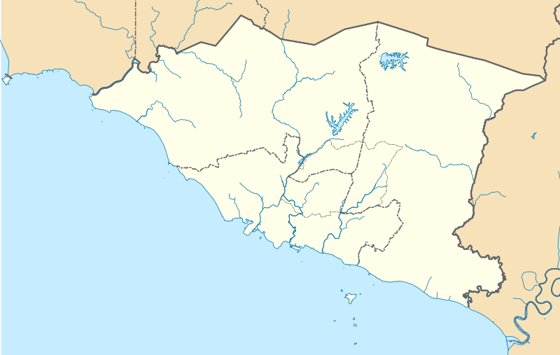
English: A map showing districts of Melaka (blank version) |
| Daatum | |
| Quejn | Eigenes Werk |
| Urhéwer | Zh9567 |
Lizenz
Diese Datei ist lizenziert unter der Creative-Commons-Lizenz „Namensnennung – Weitergabe unter gleichen Bedingungen 4.0 international“.
- Dieses Werk darf von dir
- vabroatt wern – vafüfötigt, vabroatt und éffantlich zuegénglich gmocht wern.
- neu zusammengestellt werden – abgewandelt und bearbeitet werden
- Zu den folgenden Bedingungen:
- Nåmansnénnung – Du musst angemessene Urheber- und Rechteangaben machen, einen Link zur Lizenz beifügen und angeben, ob Änderungen vorgenommen wurden. Diese Angaben dürfen in jeder angemessenen Art und Weise gemacht werden, allerdings nicht so, dass der Eindruck entsteht, der Lizenzgeber unterstütze gerade dich oder deine Nutzung besonders.
- Weidergob unter gleiche Bedingungan – Wenn du das Material wiedermischst, transformierst oder darauf aufbaust, musst du deine Beiträge unter der gleichen oder einer kompatiblen Lizenz wie das Original verbreiten.
Dateiversiona
Wensd auf an Zeitpunkt klickst, nacha konst a friaane Version lodn.
| Version vom | Vorschaubuidl | Dimensióna | Nutzer | Kommentar | |
|---|---|---|---|---|---|
| aktuell | 10:42, 13. Apr. 2021 | | 980 × 620 (596 KB) | Zh9567 | minor |
| 08:59, 12. Apr. 2021 |  | 980 × 620 (597 KB) | Zh9567 | Uploaded own work with UploadWizard |
Dateivawendung
Koa Seitn nutzt de Datei.
Globale Dateinutzung
D'noochéfóiganden åndern Wikis vawénden dé Datei:
- Vawendung af en.wikipedia.org
- Malacca City
- Masjid Tanah
- Tanjung Tuan
- Ayer Keroh
- Merlimau
- Besar Island, Malacca
- Malacca Island
- Durian Tunggal
- Batu Berendam
- Tanjung Kling
- Bukit Katil
- Sungai Rambai
- Tanjung Bidara
- Wikipedia:WikiProject Malaysia/Cartography
- Portuguese Settlement, Malacca
- Simpang Ampat (Malacca)
- Hang Tuah Jaya
- Jasin (town)
- Linggi River
- Malacca
- Pengkalan Balak Beach
- Durian Tunggal Reservoir
- Sungai Udang Recreational Forest
- Alor Gajah Square
- Jus Reservoir
- Ayer Keroh Lake
- Ayer Keroh Square
- 1Malaysia Square
- Jasin Square
- Puteri Beach
- Bukit Batu Lebah Recreational Forest
- Klebang Beach
- Kuala Linggi Mangrove Recreational Forest
- Alor Gajah
- Konet Island
- Module:Location map/data/Malaysia Malacca
- Module:Location map/data/Malaysia Malacca/doc
- Undan Island
- Bukit Baru
- Upeh Island
- Vawendung af fr.wikipedia.org
- Vawendung af id.wikipedia.org
- Vawendung af ms.wikipedia.org
- Vawendung af os.wikipedia.org
Weitere globale Verwendungen dieser Datei anschauen.