Shire-Houchland
| Shire-Houchland | |
|---|---|
| Höchster Gipfel | Zomba-Platoo (2087 m) |
| Lage | Malawi |
| Koordinaten | 15° 39′ S, 35° 8′ O |
Shire-Houchland |
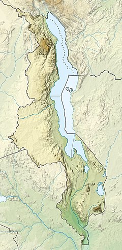
As Shire Houchland (dt.: Shire-Hochland) is a gstreckta, uma 130 km longa Gebiagszug entlong vom Shire-Fluss vo Bangula im Sidn bis Liwonde im Noadn. Im Wesntlichn is's a longe Houchebene af uma 900 m Häh, aus dea vo Sidn noch Noadn Beag wia da Thyolo 1462 m, da Soche 1533 m, da Ndirande 1612 m, da Chiradzulu 1773 m und's Zomba-Platoo mid iwa 2000 m rong.
Weng seim gmäßigtn Klima (vagleichboa mid Noaditalien) und de Monsunniedaschläg, de de meistn Quejn vom Shire-Houchland gonzjeahrig sprudln lossn, woa da friahra nohezua unbewohnte Gebiagsrickn bei Britn seah beliabt, de duat mid'm [[Obau [Landwiatschoft)|Obau]] vo Tee, Hoiz, Droad boid a intensive Plantaschnwiatschoft betriem ham. Ned vo ungfeah liegt's wiatschoftliche Zentrum vo Malawi, Blantyre, duat.
Touristisch is nem Blantyre des Zomba-Platoo iwa da gleichnamign Stod intressant, wo ma iwa weite Grosflächn und duach dichte Wäjda wondan ko. Da steile Obfoi in's Toi vom Shire ealaubt an Panoramablick. Wia da Mulanje is's a beliabts Ausflugszui.
-
Shire-Houchland bei Blantyre mid Beag Ndirande
-
Zomba Platoo


